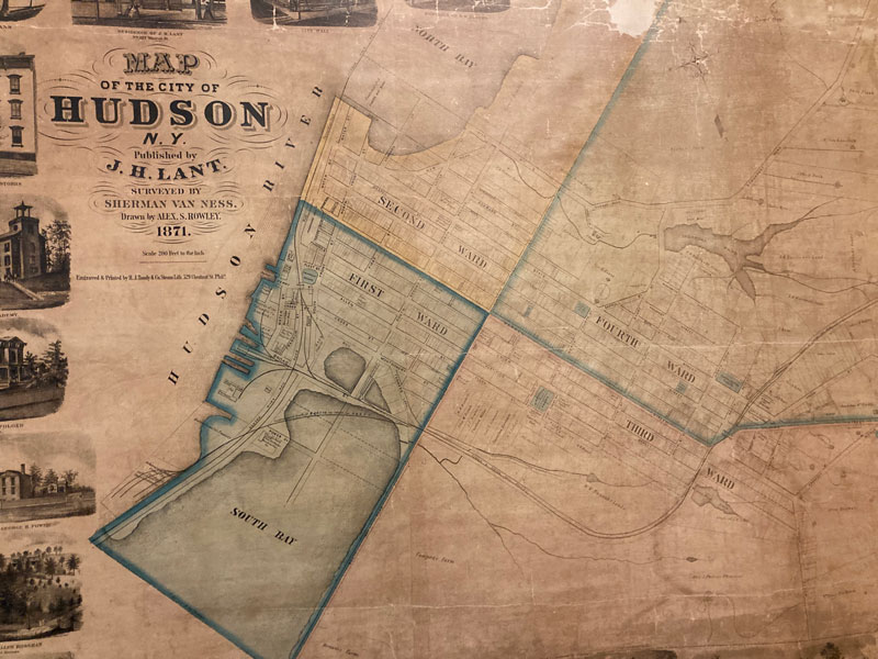
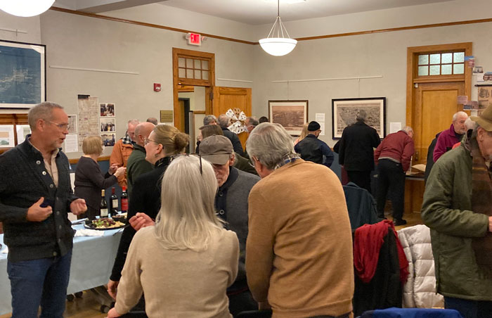
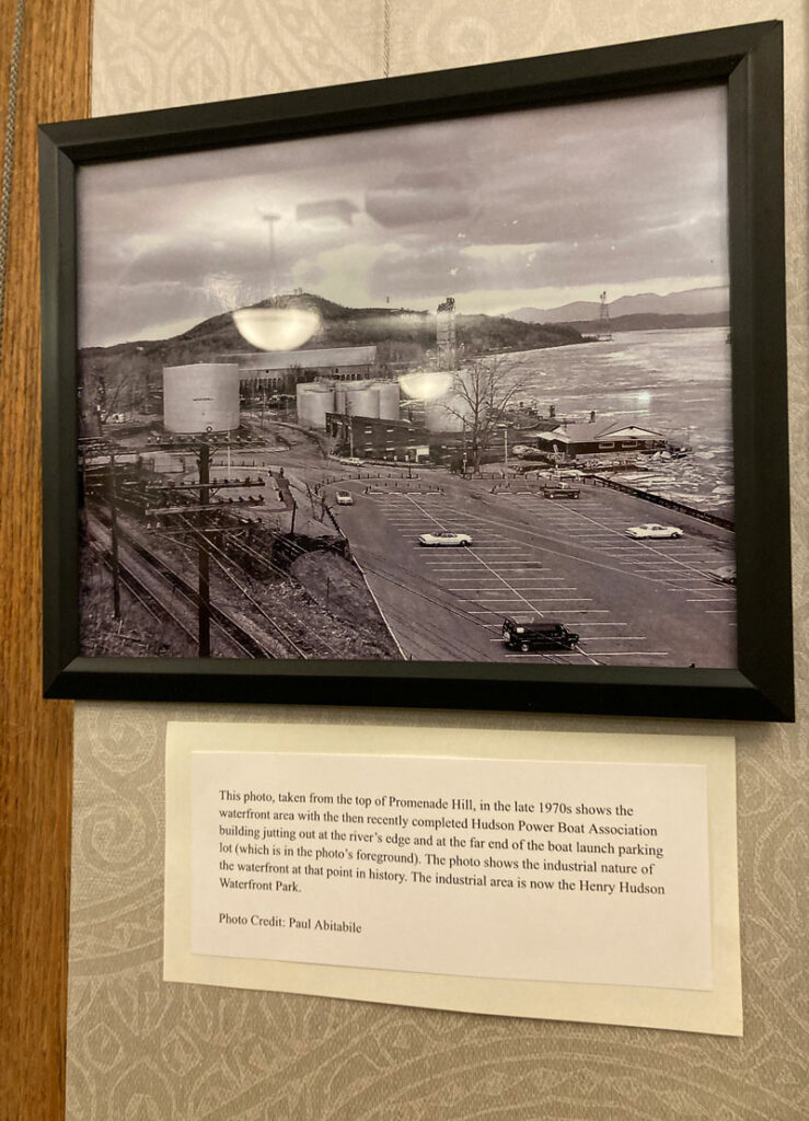
On Thursday, March 2nd, the Hudson Area Library showcased its historical Hudson maps and atlases. The exhibition was a culmination of months and years of work by local volunteers of the library’s History Room. Their worked helped preserve and make these maps accessible to the public.
The maps have been used to teach local teens about Hudson’s history, as well as projects such as Hudson’s DRI [Downtown Revitalization Initiative] to explore the pathways down by the Hudson waterfront.
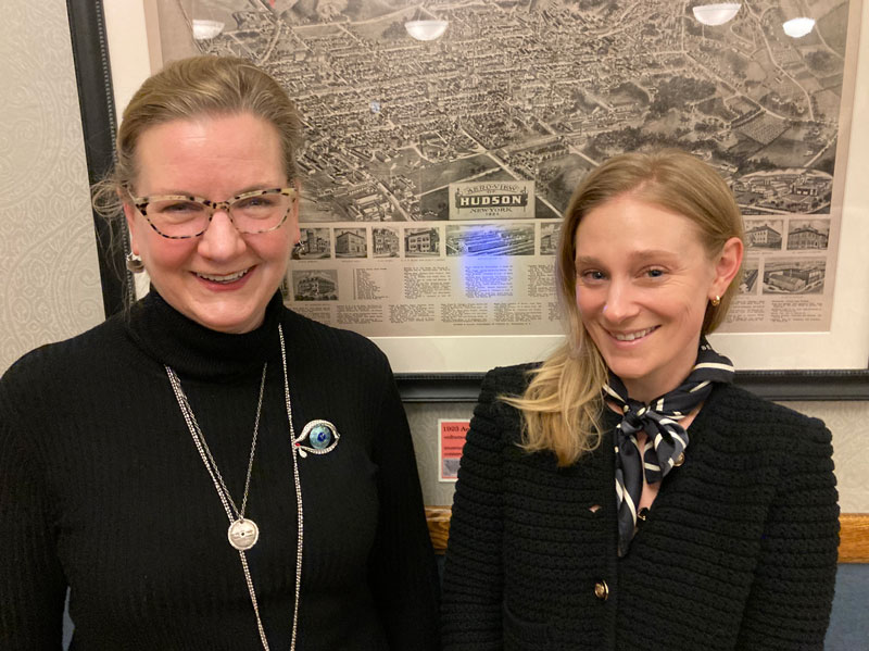
“Libraries are all about giving people opportunities to access knowledge. These local historic maps and atlases are used by folks for many reasons including to help our community make informed decisions about the future. The exhibit includes maps from Hudson’s founding, through urban renewal, and into the present day and all can teach us something about this most interesting of cities.”, says Brenda Shufelt.
It is an amazing exhibit that shows how much Hudson has – and has not – changed throughout the years!
Kudos and THANK YOU to the staff and volunteers for preserving this collection for generations to come.
The Local Map Exhibition is available to view during library open hours. The History Room is open on Saturdays, 10am-noon, or by appointment by emailing Brenda Shufelt here. here.
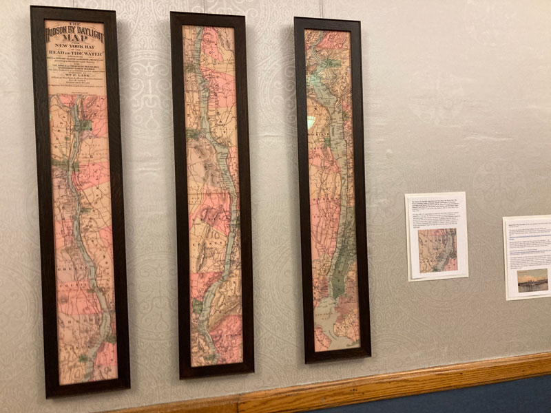
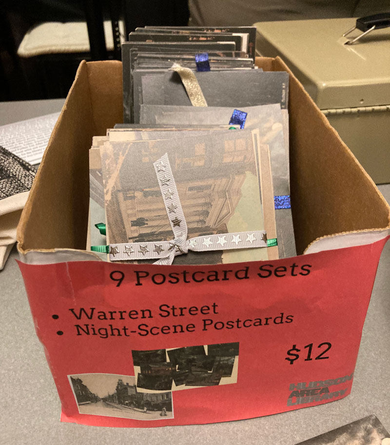
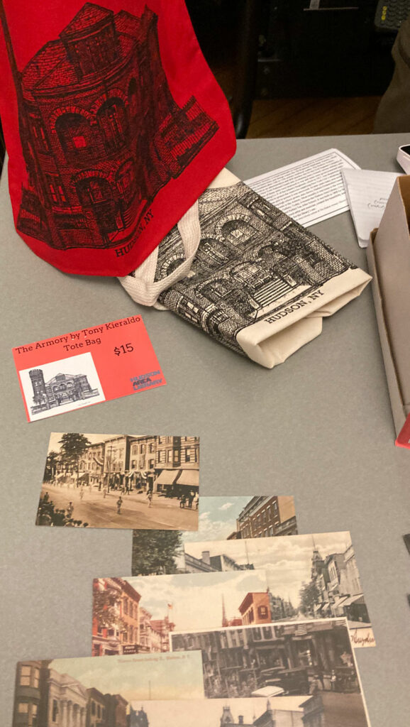
Many of the maps have been digitized and are available for purchase – some framed – at the Hudson Area Library’s History Room Shop. Click here to view.
Tote bags featuring the Hudson Armory,
sketched by local talented musician – and illustrator – Tony Kieraldo
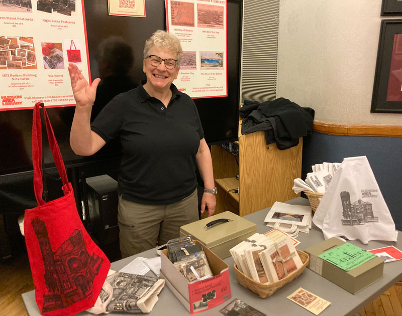
Lynda Akerman, with postcards and tote bags available for sale.
(When you are the History Room Coordinator’s wife, you work the merch table at the exhibition.)
